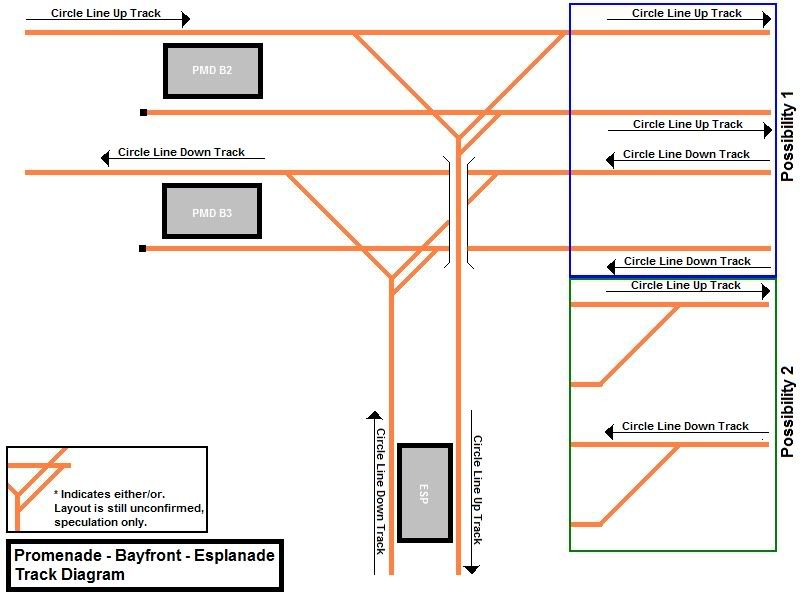
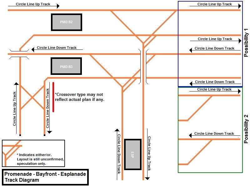
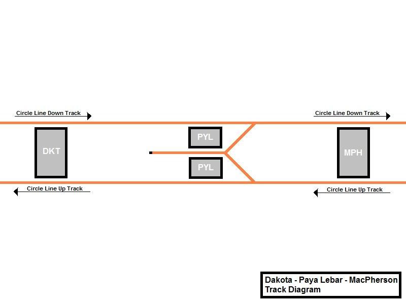
LTA has a few different versions of the maps over the years. I
just went back to restudy the diagrams (which were from
SkyscraperCity), and I think Nick's current one is more likely.
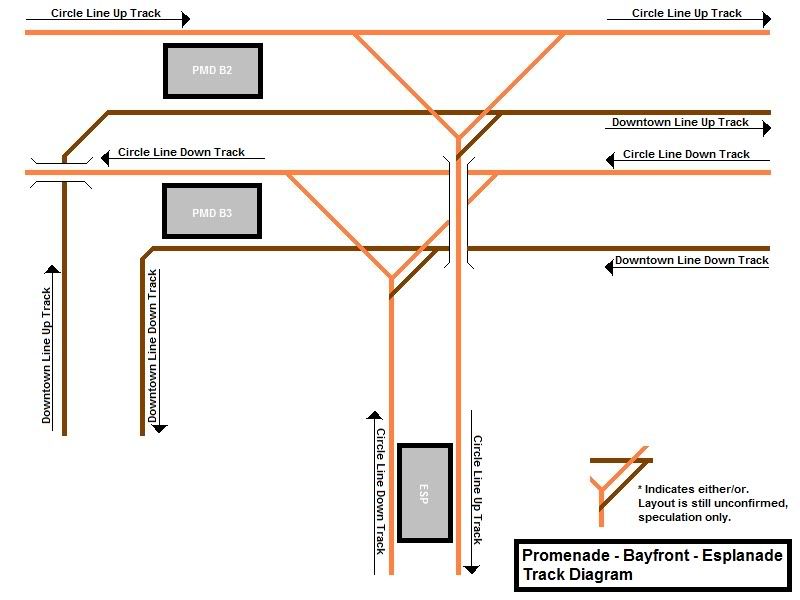
This one makes for particularly interesting reading :

this is actually a diagram made by me over at SSC.
anyway further discussions on that side has proven that the CCLe
platform indicated here is unlikely to materialise.
this is because the current Promenade platforms in service now
has a Y-shaped split to serve both the CCLe and CCL1 towards
Esplanade. and if the currently unused platforms are to serve CCLe,
this makes the segment a level junction (see http://en.wikipedia.org/wiki/Level_junction), which
LTA has been trying to avoid.
the final nail in the coffin would be that these platforms were
originally designed to serve the then-Bukit Timah Line (BTL, now
DTL2). this original provision is destroyed along with the Nicoll
Highway collapse. this also resulted in the DTL1 (back then the CCL
Downtown Extension) interchange shifting from Nicoll Highway to
Promenade, resulting in the current plans we see in the picture
above.
this CCLe platform indicated above will thus never serve DTL1 as
well, since the DTL Promenade station is already under construction
as we are discussing here and is probably of incompatible
signalling.
because of historic reasons, what will most likely happen is
that CCLe and the CCL1 services will share the current two
platforms.