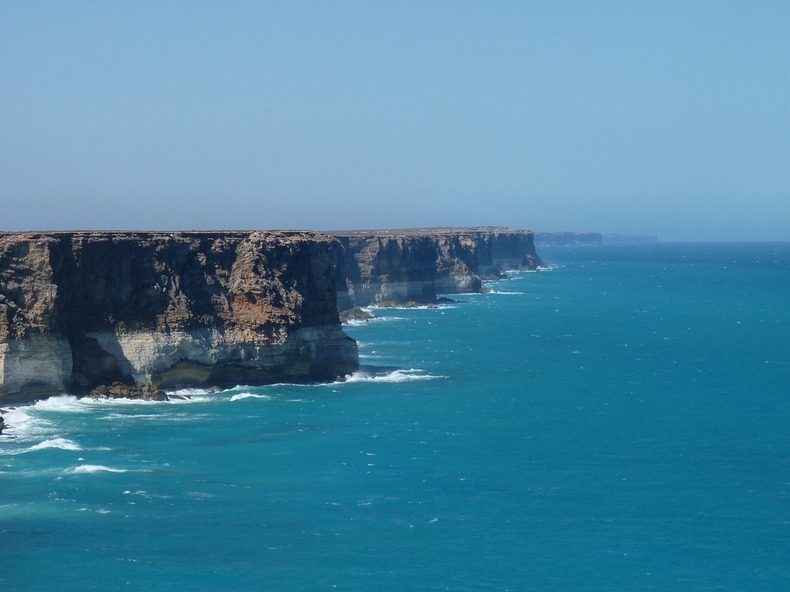
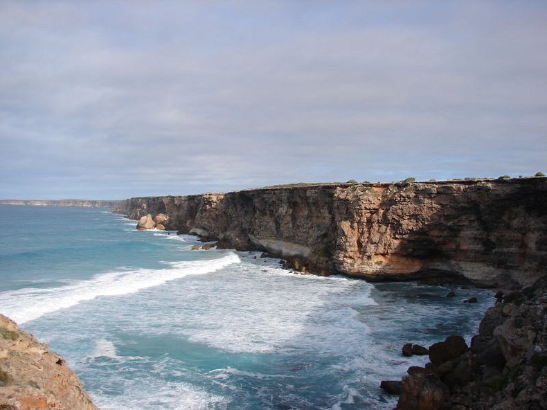
Located on the Great Australian Bight in Southern Australia, is the
vast, featureless Nullarbor Plain - the world’s largest single
piece of limestone, covering an area of 270,000 square km and
extending some 1,000 km from the east to the west. The area is so
flat that the Trans Australian Railway runs across its surface for
about 483 kilometers in a completely straight line. On the surface
of the plain there are areas of slight depressions where sparse
rainfall has slowly dissolved away some of the limestone. There are
also places where underground caves or sinkholes have collapsed to
form dents in the surface. But mostly, the plain is horizontally
flat and devoid of trees, as its Latin name suggests. The Nullarbor
Plain ends abruptly at the spectacular Bunda Cliffs, comprising a
200-kilometer-long precipice curving around the Great Australian
Bight.
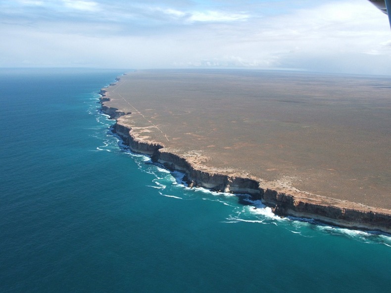
Bunda Cliffs form the southern edge of the Nullarbor Plain which
extends far inland. The white coloured base you see near the bottom
of the cliff face is Wilson Bluff Limestone. This chalky material
formed as part of an ancient seabed when Australia began to
separate from Antarctica 65 million years ago. This Wilson
Limestone is up to 300 metres thick but only the upper portion is
visible in Bunda Cliffs.
Above the white Wilson Limestone are whitish, grey or brown layers
of limestone or crystalline rock. Some layers incorporate marine
fossils including worms and molluscs indicating their marine
origin. Other layers are made up entirely of marine sediment
(foraminifera). The cliffs are capped by a hardened layer of
windblown sand laid down between 1.6 million and 100,000 year
ago.
The cliffs are some 60 to 120 meters high and sheer, and can be
viewed from several viewing points along the Eyre Highway east of
Eucla and west of Nullarbor roadhouse. But they are better
appreciated from the air. The Eyre Highway, Australia’s main
east–west link, follows the line of this spectacular coast less
than a kilometer inland. The highway was named after Edward John
Eyre, who along with John Baxter and three aboriginals, set off
from Fowlers Bay in February 1841 in an attempt to reach Albany in
Western Australia across the Nullarbor Plain. Lack of water and
extreme hardship gave rise to a mutiny and two of the aboriginal
boys shot John Baxter and absconded. Eyre and the third Aborigine,
Wylie, continued on their journey and completed the crossing in
June 1841. The Eyre Highway was laid exactly a century later in
1941.
Over a distance of 85 kilometers along the highway, there are five
main lookouts on the cliffs with signed, gravel access roads from
the highway. The western lookout is the most popular because
visitors can walk to piece of rock jutting out of the cliff that
offers a vantage looking point.
At the eastern end of Bunda Cliffs there is a lookout at the Head
of the Bight where visitors can stay for hours watching Southern
Right Whales in the ocean below the cliffs. Southern Right Whales
migrate from the sub-Antarctic in the autumn and give birth to
calves in inshore water along the southern Australian coast, then
remain in the vicinity for months while the calves put on weight.
Head of the Bight is one of these calving/mating grounds.