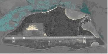
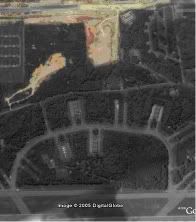
Google Earth is a public domain service.If areas are seen on GE,
when they are not supposed to be seen, then some fellow's head must
roll.
Anyway, we should post more maps of bases that can be identified,
it would be nice, to quote a fellow forumnite, to play Cold War
Keyhole imagery spies.
I think these images are actual images from the KH- satellites
series of the US DOD, except that they have been
retired.Imagine..the KH series was around in the 60s and 70s.